Measurements in images

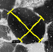
The basic module of Geoimagin is designed to make simple measures in images. The images can be live images, from a camera, or still frames that are stored in your computer.
Read MoreMicrostructure analysis (by request)

A module for structural analysis of rocks under the microscope is under developement. The classic methods of Fry, normalized Fri and Rf-phi are implemented.
Fluid inclusion planes (by request)

The study of Fluid Inclusion Planes (FIP) for the analysis of fluid migration is developed and allows the data acquisition and the plotting in rose diagrams.